Is the line you see in the plot enquiry the actual boundary?
How should you interpret the plot enquiry screen? Distinguish between the view on the map, on-site boundary verification and planning checks.
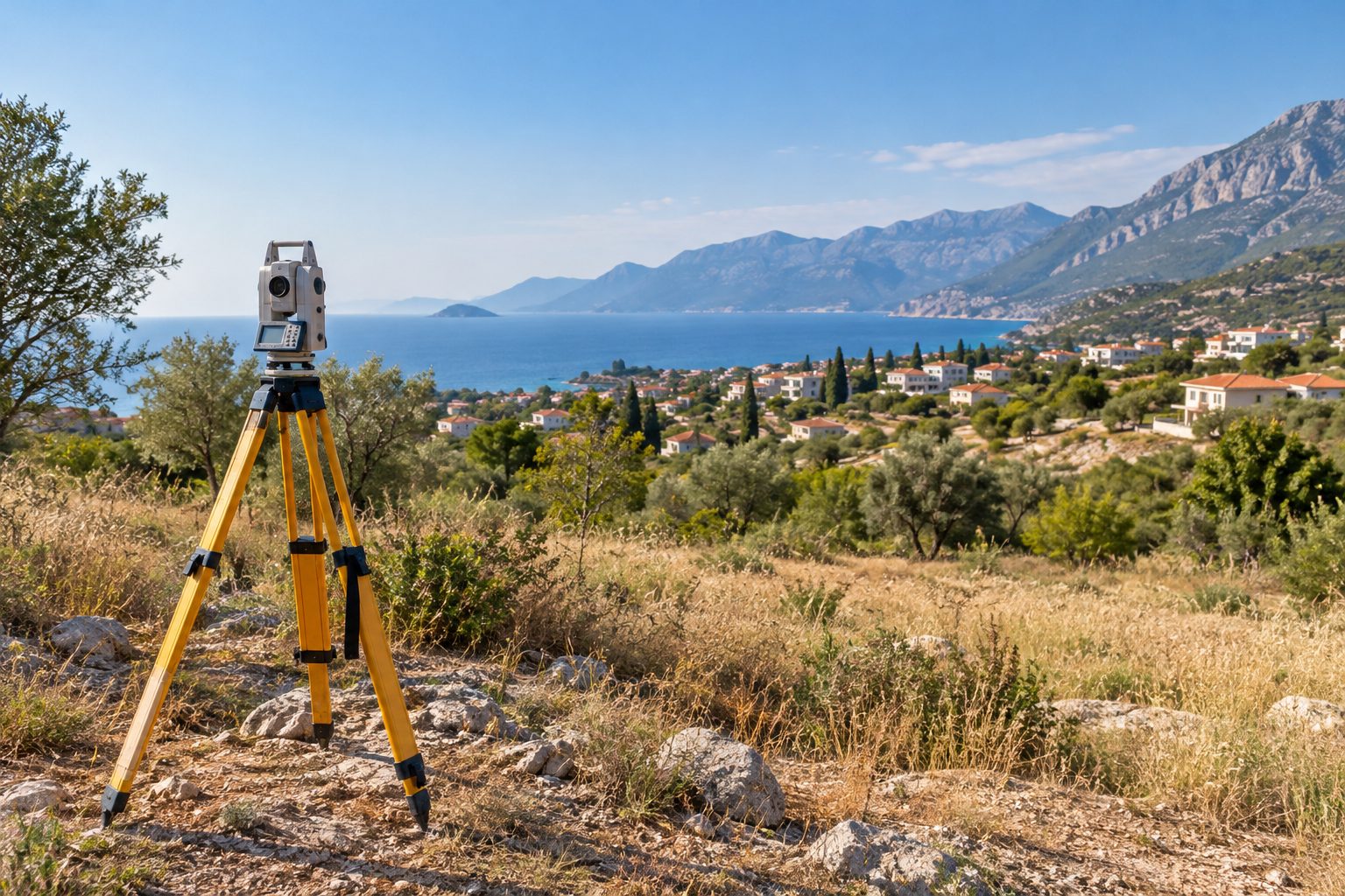
Viewing a plot of land on screen can be a starting point for your research; however, treating the line on the map as the definitive boundary on the ground is not a sound decision-making approach. Location surveys, land registry records and on-site technical inspections are different sources of information.
The right property first
Check that the information regarding the county, district, neighbourhood, block and plot matches the record you are looking for. Similar neighbourhood names or incorrect numbers may lead you to the wrong location. Make a note of the date the screen capture was taken. Do not rely solely on an image sent by someone; verify the source.
The Limits of Satellite Imagery
Roads, fences or structures may be visible in the image; their legal status must be investigated separately. It should not be assumed that the use shown in the image corresponds to the registered boundaries and rights. Do not use the appearance of a line on the screen as a substitute for measurements or a survey.
On-site inspection is a separate matter
If a technical determination of the boundary or location is required, consult the relevant authorised professional. Drawing a fence line, carrying out works or deciding on a boundary with a neighbour based solely on a map is not an appropriate starting point. Authority, methodology and the necessary documentation must be determined according to the specific circumstances.
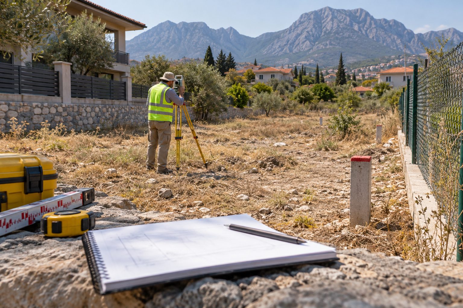
Investigate the planning regulations separately
Identifying the plot’s location does not prove that the desired structure can be built or that the intended use is permitted. The current plan, plan notes and relevant administrative information must also be examined. The presence of a road alone does not clarify all the details of access rights.
Questionnaire
What is the registration ID? Is the image provided up to date? What is the actual use? Has a technical boundary survey been carried out? What information is missing regarding planning and access? Keep these questions separate.
Source framework: TKGM Parcel Enquiry is one of the official tools for conducting a parcel survey. Do not interpret the screen as a definitive official document; instead, examine the application’s conditions and relevant expert guidance.
This content is for information purposes only.
Further reading
[How to query land registry information (TAKBİS) and land registry records via e-Government?]You can find further information on this topic in the guide at (https://buybestvilla.com/tr/blog/how-to-check-title-deed-information-takbis-through-e-devlet-in-turkiye).
Sources
New-build projects for sale in Antalya
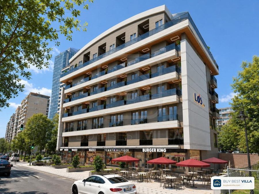
Los Tigres
A boutique development in Sarısu, Konyaaltı, with a pool and covered parking: 1+1 units usable as home or office, plus ground-floor and rooftop duplexes. Delivery August 2027.
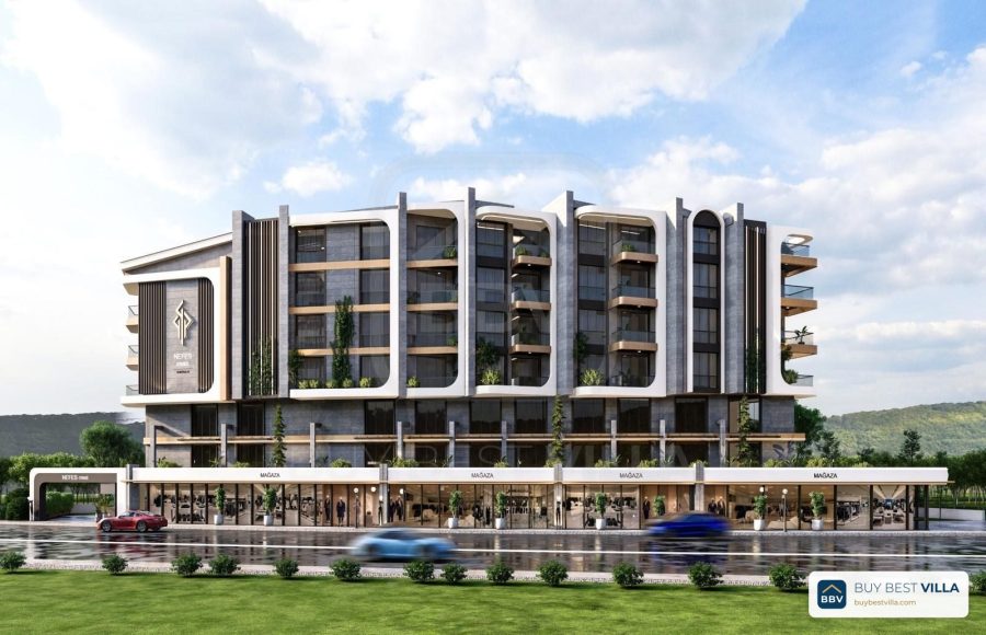
Nefes Corner
A boutique corner-plot project with a pool garden and 44 units: ground + mezzanine duplexes, 1+1 and 2+1 flats and roof duplexes.
Nefes Premium
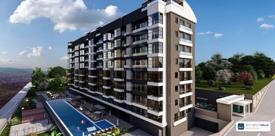
A three-block, 56-unit residence in Kepez with a 350 m² pool, tennis court, jogging track, garden duplexes and penthouse duplexes with private pools. From 2+1 to 4+1.